This one-day lesson examines the historical context of the Mexican National Era, including key issues facing Mexico, Texas, and the United States at the outset of the era.
THIS UNIT
Browse unit contents using the tabs to the right or the filters below.
Share
Tell other teachers, parents, and students about us.
Follow
Pacing
Contents
Era Overview
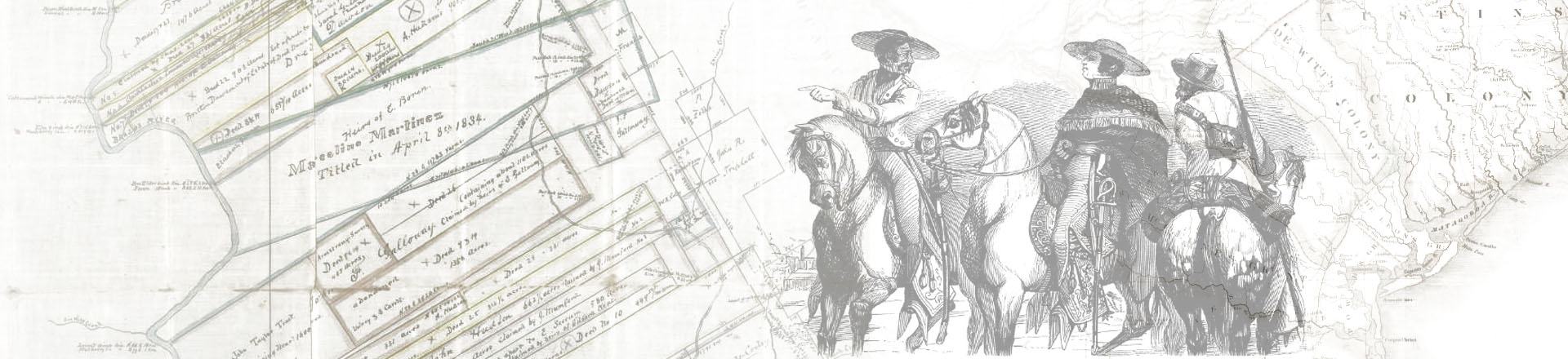
When Mexico became independent of Spain in 1821, the new nation faced daunting challenges: the country was deeply in debt, Spain had promised to reconquer the territory, and much of Mexico had been devastated by the War for Independence. One of the most alarming problems that Mexico inherited from Spain was their remarkably weak presence in Texas, since so few Spaniards – now Mexicans – lived in the region.
As such, Mexico endorsed a plan by Tejanos (Mexicans native to Texas) to invite Anglo-Americans to settle in Texas. The hope was that these American farmers would become Anglo-Mexicans, whose new settlements would bring more population, stability, and economic development to the region. These Americans, in turn, were interested in Texas because Mexico’s government offered them vast swaths of land, far more than they could ever hope to buy in the United States. Thousands of Americans, as a result, began moving during the 1820s into eastern Texas, where they established farms and plantations that mostly grew cotton.
For a variety of reasons, disputes emerged during the late 1820s and early 1830s that put Texans (Anglos and Tejanos) in conflict with various levels of Mexico’s government. Both Anglos and Tejanos, for example, supported the importation of enslaved African Americans to serve as the labor system driving Anglo cotton farms in Texas, which put them at odds with leaders from other parts of Mexico who wanted to outlaw slavery altogether. Both Anglos and Tejanos also resented that Texas had been attached to the nearby state of Coahuila and petitioned unsuccessfully to be granted permission to be their own state. And as the Anglo population grew dramatically during the late 1820s and early 1830s, Mexico City began trying to assert more control over Texas, leading to disputes (and some armed fights) in the region.
Through it all, Tejanos and Anglos in Texas both tended to be strong supporters of “federalism” under Mexico’s Constitution of 1824, which promised that states in Mexico could pass their own laws based on local needs. When a group of leaders in Mexico City, with Santa Anna at the helm, overthrew the Constitution of 1824, alarmed Tejanos and Anglos openly began resisting the new “centralist” government of Mexico.
Unit Level Downloads (English)
-
Unit Plan Unit Plan MS Word Unit Plan Adobe PDF
Downloadable/Editable versions of the English language unit plan. Provides an Era Overview and pacing, and outlines each lesson’s estimated completion time, essential questions, a description of each lesson, and student learning experiences and activities.
Other Units
Lessons
Most lessons contain downloadable and printable documents, activities, and other resources to aid in classroom instruction. Lesson materials are available in multiple formats and typically contain variations based on learning needs.

The Big Picture
Unit Plan # 1
45-60 min
none
71A
71B
72F
720B

How do we know what we know?
This one-day lesson presents three excerpts from different primary source letters discussing divisions in the Mexican government in 1821, challenges facing Tejanos, and Moses Austin’s proposal to settle Anglo-Americans in Texas.
Unit Plan # 2
45-60 min
none
72E
72F
720A
720B
720D
720E
720F
722B

Vocabulary
This two-day lesson presents unit vocabulary in short readings that provide the terms in the context of significant information from the unit. Students use the readings to complete vocabulary charts and take a vocabulary quiz.
Unit Plan # 3
90-120 min
none
71A
71B
72E
72F
720B
722A
722C

What's the Story?
This one- to two-day lesson presents the significant chronological events of the era, showing cause-and-effect relationships and demonstrating the key defining characteristics of the era.
Unit Plan # 4
45-60 min
none
71A
71B
72D
72E
72F
73A
720B

The Empresario System
This one-day lesson presents information about the various for support of the Empresario System, significant people related to the beginning of Anglo immigration, requirements for Anglo settlers, and the role slavery played in Anglo colonies.
Unit Plan # 5
45-60 min
none
72D
72E
72F
720B

Empresario Extension Activity
In this one-day extension activity, students evaluate six fictional applications to settle in Stephen F. Austin’s colony. Students make a decision to accept, deny, or conditionally accept each applicant based on information provided in the applications and requirements set by the State Colonization Law of 1825 and the state laws on slavery.
Extension
45-60 min
none
72D
720B
720E
722D

Significant Empresarios
In this one-day lesson students will learn about four historical figures who were significant to the development of Texas under the Empresario System.
Unit Plan # 6
45-60 min
none
72E
720B
720D
721A
722D
73A

Growing Tension in Texas
This one-day lesson presents six significant events that led to increased tension in Texas on the road to the Texas Revolution.
Unit Plan # 7
45-90 min
none
73A
72E
720B

Growing Tension in Texas Extension Activity
An optional one- or multi-day extension activity in which students examine and analyze five primary source documents related to growing issues in Texas from various points of view.
Extension
45-90 min
none
73A
720A
720B
720D
720E
720F
722B
722D

The Bigger Picture
This one-day lesson examines a primary source newspaper article presenting an Anglo point-of-view of the political unrest developing across Mexico in the wake of the centralist takeover of the government.
Unit Plan # 8
45-60 min
none
73A
720A
720B
720D
720E
720F

Texas Today
A one-day lesson examining charts, graphs, and maps related to cotton in the Texas and U.S. economies today.
Unit Plan # 9
45-60 min
none
78C
720A
720B
720C
721A
721B

Looking Ahead - Trouble in Texas
This one-day lesson presents a primary source that relays the cause, major events, and significance of the Battle of Gonzales.
Unit Plan # 10
45-60 min
none
73C
720A
720B
720D
720E
722B

Study Guide and Flashcards
A one-day lesson to review key components of the Mexican National Era unit including major themes and significant people, places, and events.
Review
45-60 min
none
71A
72D
72E
73A
720B

Mind Mapping Review Lesson
In this one-day lesson students will make connections between key topics covered in the unit by creating a mind map using sets of terms.
Review
45-60 min
none
71A
72D
72E
73A
720B

Bingo Review Game
This one-day review lesson provides students with an opportunity to review key terms in a fun and engaging game of Bingo.
Review
45-60 min
none
71A
72D
72E
73A
720B
Maps
We've assembled the following list of maps that are applicable to the Mexican National Unit.

Carte des États Unis du Méxique
Map shows early nineteenth century geography, major roads, mines, areas of Native American habitation, extent of rivers, cities, and military posts in Mexico.
Carte des Mexique
Map shows major Mexican cities, provinces, physical features, and areas of Native American habitation.
Republic of Mexico
Map shows early nineteenth century Mexican cities, states, and territories [inclusive of Texas], Santa Fe Trail, Missouri Territory, and Arkansas Territory.
Mexico and internal provinces: prepared from Humboldt's map & other documents
Map shows states and provinces of the Republic of Mexico inclusive of the American Southwest and areas of Native American habitation.
Mexico, and Guatimala : Corrected from original information communicated by Simon A.G. Bourne, Esq.
"Map shows provinces, cities, roads, mines, and geographic features in Mexico; cities in Guatemala; British settlement of Balize."
Mapa de los estados unidos de Méjico : segun lo organizado y definido por las varias actas del Congreso de dicha república y construido por las mejores autoridades
"Map shows major roads, major cities and towns, state boundaries, and of particular note, Coahuila [y] Tejas and Nuevo Mexico/Santa Fe; boundary with the United States to Oregon and Arkansas Territories."
Map of the United States : compiled from the most authentic sources
"Map shows major cities, areas of Native American habitation by tribe [some with population statictics], state and territorial boundaries, and the "Internal Provices of Mexico"; map extends beyond neatline to include Cuba and other islands of the West Indies; Arkansas Territory, Missouri Territory, North West Territory, Michigan Territory, and Oregon [Territory]."
North America
"Map shows Russian Possessions" [Alaska], "British America" [Canada], "Central America or Guatemala," Greenland, noted 1825 boundary line between Russian Possessions and British America; Mexico's northern boundary encompassing Californias and Texas; areas of Native American habitation, major cities, rivers, and mountains."
A map of Louisiana and Mexico : Carte de la Louisiane et du Mexique
"Map shows known geography and places names in early nineteenth century Louisiana and Mexico territories."
Mexico
"Map shows 1824 Mexican state division lines. Map indicates state names, geography, and some cities."
Mexico
"Map shows early nineteenth century known cities, towns, and geographical features in Mexico."
Mexico
"Map shows major early nineteenth century Mexican cities and towns, mines, roads, presidios, military posts, and areas of Native American habitation."
Mexico, Guatemala, and the West Indies
"Map shows early nineteenth century boundaries of Mexico extending north along the Pacific coast."
Mexico
"Map shows major cities and towns, names of mountain peaks and volcanoes, areas of Native American habitation, and internal political boundaries; Coahuila and Texas distinct Mexican states; British Belize. Inset: 'Mexico, shewing [sic.] its connection with the ports of Acapulco, Vera Cruz, & Tampico; on double the scale of the map.'"
The United States of Mexico
"Map shows borders, cities, and geography of early nineteenth century Mexican states. Inset: 'Guatemala or the United Provinces of Central America.'"
Mexico & Guatemala / by H.S. Tanner ; engraved by J. Knight
"'Tanner's universal atlas.' Relief shown by hachures. Prime meridian: Washington. Insets: Valley of Mexico -- Guatemala"
Videos
We provide videos for both continuing education and classroom use. Please see each video's descriptive page for related resources and details about accessibility and viewing options.
Preview of the Mexican National Period
During the Mexican National Period in Texas, Mexico attempted to shore up its control over Texas while confronting numerous challenges, such as a small population of people loyal to Mexico, deep financial debt, and territorial insecurity. Mexico invited American farmers to colonize Texas during this period in hopes of increasing Mexican influence and control over the region.
Establishing Mexican Texas
Mexican independence from Spain, covering: (1) The U.S. Land Crisis, (2) Moses Austin’s Zany Scheme, (3) Do We Let in the Americans?, (4) Founding the Austin Colony.
Mexican Texas
Mexican governance of Texas, covering: (1) Establishing the Austin Colony (2) Mexico City, Centralism Vs. Federalism, (3) The Problem of Slavery, (4) The Constitution of 1824, (5) A Rebellion in East Texas.
More Resources
The following list of resources provide additional information to help you dive deeper into the context of the unit. Books are linked to OCLC WorldCat, allowing you find a copy in your nearest local library or to make a request for it using interlibrary loan.
General
website Results for the Mexican National Period Period in The Portal to Texas History
Digital copies of primary sources and other documents from our about this time period contributed to The Portal to Texas History by institutional partners from across the State.